Members of the Tin Mountain Research Department, along with research interns, have been monitoring the Mount Washington Valley’s bird populations since the spring of 2008. Several long-term monitoring projects examine the ecology of migrating, breeding, and resident birds throughout their annual life cycle.
Tin Mountain’s Avian Ecology research is divided into several distinct areas:
Breeding Bird Surveys
During the summer (May – July), point counts are conducted at 70 locations in both the 138 acre Rockwell Sanctuary in Albany, NH and the 459-acre Bear Paw Timberlands in Conway, NH. “Point counts” are a bird survey method in which an observer visits a fixed location and records all birds seen and heard within a specified distance (e.g. 50 m) for a specified length of time (e.g. 10 min). Point counts begin 30 minutes before sunrise when birds are generally most active and vocal. With over 15 years of survey data, we are able to monitor changes in avian communities and populations over long periods of time and in response to forestry practices on our properties.
Forest Ecology
Every year, after breeding bird surveys are complete, the focus of our research shifts to forest ecology. We collect data on canopy cover, mid-story growth, groundcover, and coarse wood material compositions at the forest plots associated with the point count locations. This data provides insight into associations between the presence of breeding and/or migratory birds with measures of forest composition, structure, and habitat changes due to forestry practices. We examining these changes in forestry composition in order to understand how bird populations respond to changes in their environment.
Monitoring Avian Productivity and Survivorship (MAPS)
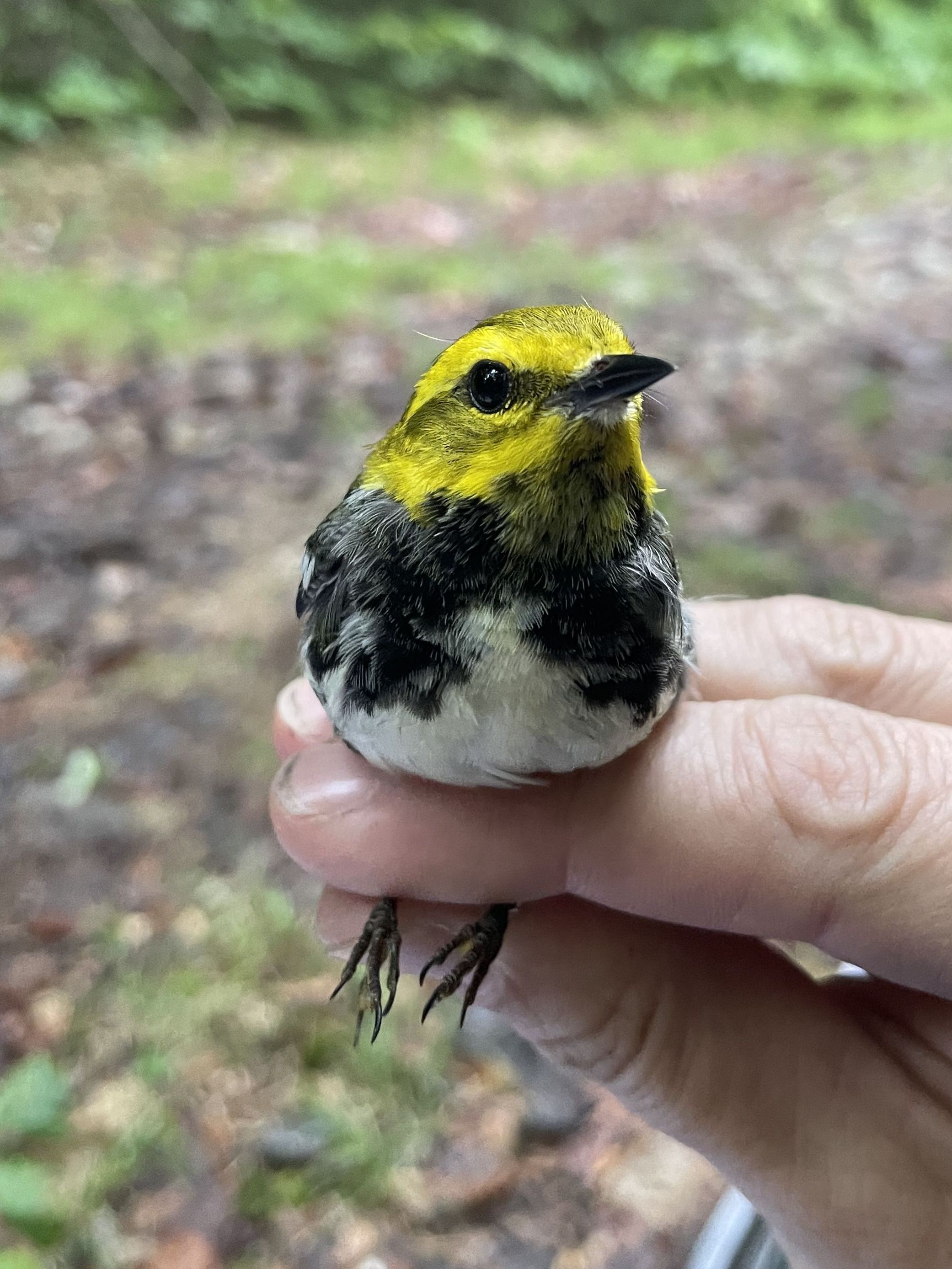
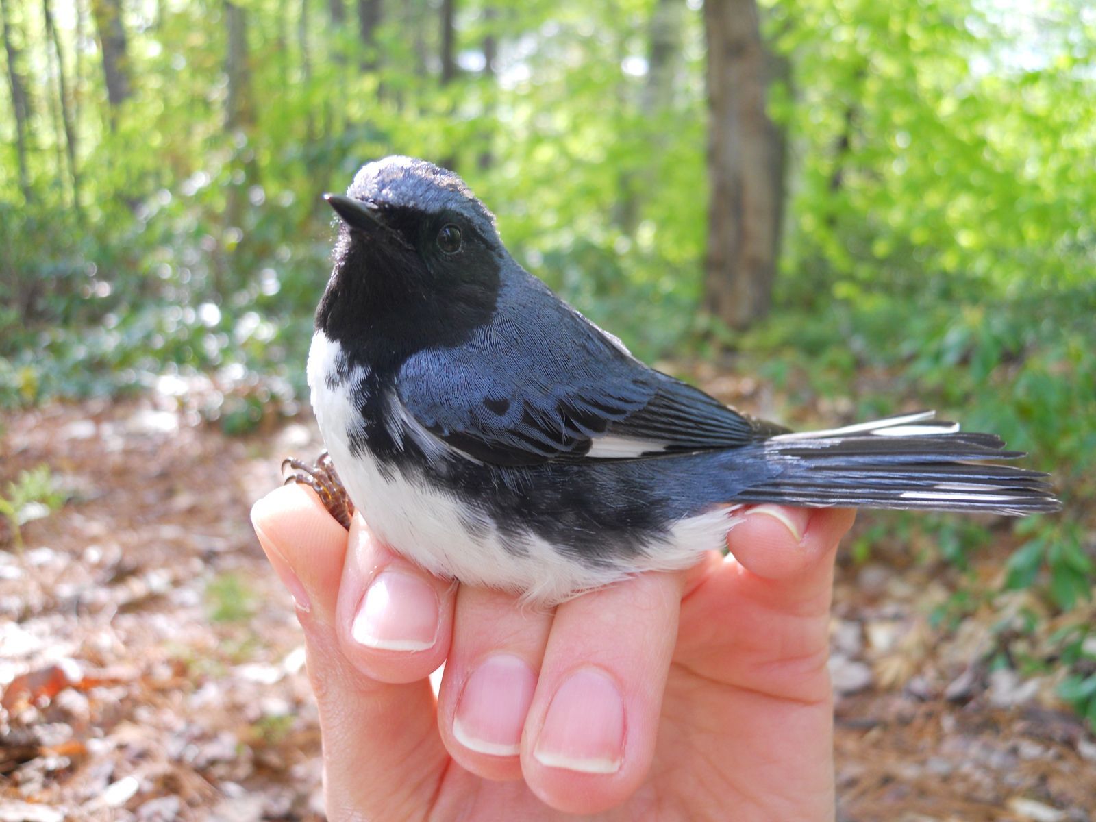
Tin Mountain operates two MAPS stations during the breeding season. The MAPS program, initiated in 1989 and overseen by the Institute for Bird Populations, is a continent-wide effort among various agencies, NGOs, universities, and individuals to understand bird population survivorship and productivity through bird banding. MAPS stations use mist nets to safely capture birds, band them for future identification and collect data. Banding data is uploaded to a national database overseen by the United States Geological Survey. MAPS banders collect data to estimate important demographic parameters such as age, sex, survival and recruitment of individual bird species. With MAPS stations operating on such a vast geographic scale, this effort provides information on trends in particular regions and habitats, factors driving population declines, impacts of habitat loss, and so much more.
Resident Bird Study
Weekly point counts are conducted year-round at the Rockwell Sanctuary in order to better understand the life history of songbirds. This effort allows us to monitor avian communities throughout the seasons and understand how their behavior and habitat use changes over the course of a year.
Banding
During the winter months, we color-band resident black-capped chickadees, white-breasted nuthatches, red-breasted nuthatches, and dark-eyed juncos to take an in-depth look at how both individual birds and these particular species adjust their territories throughout the year, how they interact in mixed-species flocks, and whether they return to the same wintering locations annually. During the summer months, our banding efforts contribute to the national MAPS effort, as described above.
Wood Thrush Tagging
Partnering with NH Audubon, TMCC has joined a research effort lead by the US Fish & Wildlife Service to nanotag Wood Thrush to determine their summer movement, migratory routes, and overwintering locations using Motus tracking stations. With 26 states participating and numerous Central American countries also tagging during thrush during the winter, this truly is an international effort.
TMCC successfully tagged 6 male Wood Thrush in 2024 and obtained over-winter detections in Guatemala and Belize! Amazingly, 3 of the 6 birds tagged in 2024 returned to their territories here at Tin Mountain’s Albany campus in 2025. In summer 2025, TMCC research staff will again tag Wood Thrush with an increased emphasis on capturing females or young of the year. Check out our “TMCC Research” social media page (links at the bottom of this page) to see field pictures and learn more.


